



Drone Inspection and Surveying Services in Yerevan
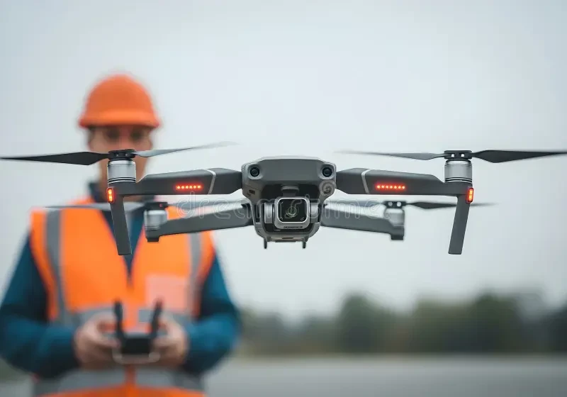
Businesses, property managers, designers and contractors may use drones to document inaccessible building areas, record construction progress or collect imagery for maps and three-dimensional models. The deliverable—not the drone model—determines whether the work is useful. On Turn.am, you can compare providers serving Yerevan and contact them directly with your site information and technical requirements.
Choose the service by its intended use
A visual inspection provides organized evidence of observable conditions on a roof, facade, tower, solar array or other asset. Photogrammetric surveying uses systematic overlapping images, coordinate control and processing to create measurable products. Aerial photography and video are designed mainly for presentation and should not be confused with verified survey data.
Before requesting a quote, identify the decision the material must support. Do you need to locate visible defects, give an engineer remote viewing material, create a design base, calculate quantities, compare construction stages or produce marketing media? Combining several purposes may be possible, but each one needs its own capture and acceptance criteria.
Inspection scope for buildings and equipment
A useful brief lists every elevation or roof area to be captured, known concerns, access restrictions and the detail required. The handover may include overview images, numbered close views, an elevation or plan showing each observation, original files and annotated copies. Consistent naming allows another specialist to find the same location.
Drone imagery can record visible cracks, open joints, displaced elements, corrosion, damaged finishes, blocked outlets or apparent surface anomalies. It cannot test hidden fixings, material strength, membrane adhesion or concealed moisture. Structural, electrical and building-envelope conclusions should be made by a suitably qualified professional, with close inspection or testing where necessary.
Mapping and 3D deliverables
Depending on the assignment, photogrammetry can produce a georeferenced orthomosaic, point cloud, textured mesh, digital surface model, contours, sections or volume calculations. Specify the coordinate reference, vertical datum, units, output scale, resolution and file formats required by the receiving CAD, GIS or modelling workflow.
Legal boundaries, cadastral submissions and other regulated uses may require an authorized surveying process beyond drone capture. Confirm responsibility for professional certification before work begins. An attractive model without a stated reference system and accuracy report may be useful for visualization but unsuitable for measurement.
Accuracy is a project requirement
The achievable accuracy depends on flight geometry, overlap, camera settings, focus, ground sampling distance, surface characteristics, surveyed control and processing. Ground control points may tie the model to known coordinates; separate checkpoints provide evidence of how well it performs away from the control.
RTK or PPK positioning can improve image coordinates, but it is not a universal accuracy guarantee. Ask how control will be measured, how checkpoints will be distributed and what error statistics will be reported. Glass, water, reflective surfaces, thin elements, vegetation and moving objects can create gaps or false geometry and should be listed as limitations.
Thermal imagery must be interpreted carefully
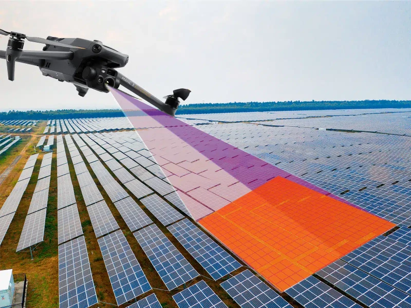
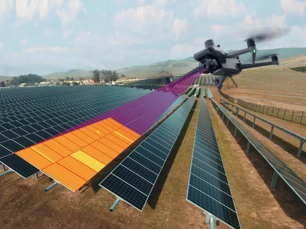
Thermal cameras show apparent surface-temperature patterns, not a direct view through a roof or wall. Results are affected by material emissivity, reflections, distance, angle, focus, wind, sunlight, moisture and the operating condition of equipment. A bright or dark region may justify follow-up, but it does not independently prove a leak, insulation gap or electrical fault.
Agree on environmental conditions, capture time, visible reference photographs and whether original radiometric files are required. The person interpreting the result should understand the asset being inspected. Confirmatory checks may include close visual access, moisture measurements, electrical tests or other discipline-specific methods.
Flight feasibility and responsibilities
A provider should review the current Armenian aviation requirements and restrictions for the exact location, aircraft and type of operation before confirming the mission. Property-owner consent does not replace any necessary aviation authorization. A prior flight or a saved map is not enough if rules or temporary restrictions have changed.
The proposal should state who handles permissions, site access, risk assessment, insurance evidence and required notifications. A safe plan covers the launch area, nearby people and vehicles, obstacles and overhead lines, weather limits, loss of communication and emergency landing. Work on an occupied property or active site may require a controlled area and a responsible site representative.
Construction monitoring and measured quantities
Repeat surveys only become comparable when the baseline, extent, coordinate system, control, resolution and processing method remain consistent. Agree on visit frequency, file naming and the method for showing change before the first capture. Different viewing angles or alignment can otherwise look like real movement.
Stockpile and earthwork calculations depend on visible boundaries and the selected base surface. Machinery, water, vegetation and hidden edges add uncertainty. If quantities will affect contractual payment, define the acceptance tolerance and authorized approval procedure rather than relying solely on a software volume.
Data ownership, privacy and handover
Urban imagery may incidentally include people, windows, vehicle plates or neighbouring property. Limit capture to the assignment where practicable and agree on notices, access to raw files, secure transfer, retention, deletion and any required redaction. Inspection footage should not be republished for promotion without appropriate permission.
List all deliverables in the contract: original and annotated photographs, report, orthomosaic, point cloud, mesh, elevation data, CAD or GIS exports, radiometric files, control coordinates and accuracy statement as applicable. Confirm software compatibility and whether the client receives exportable files rather than access only through a temporary proprietary viewer.
How to compare quotes
Price depends on the area and number of assets, flight complexity, permission work, ground control, sensor, detail level, repeat visits, processing, specialist interpretation and file formats. Ask providers to separate optional components and state what happens if weather, access or incomplete coverage requires another visit.
Send the exact address or boundary, purpose, target areas, required accuracy, desired outputs, deadline, access conditions and existing drawings or coordinates. Compare examples that match your task. Selected aerial photographs, a controlled mapping dataset and an engineer-reviewed condition report are different services and should not be uated as if they were interchangeable.